Canada Topographic Maps

Rivière aux Rats Topo Maps

Topography maps and Latitude/Longitude Location

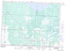
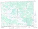
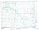
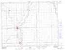
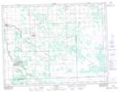
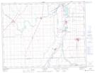
Maps showing Rivière aux Rats, Manitoba

Rivière aux Rats is a River located in Manitoba and has an elevation of 239 meters.

  • Latitude: 49° 35' 16'' North   (decimal: 49.5878000)
  • Longitude: 97° 8' 16'' West   (decimal: -97.1378000)
  • Topography Feature Category: River
  • Geographical Feature: Rivière
  • Canadian Province/Territory: Manitoba
  • Elevation: 239 meters
  • Atlas of Canada Locator Map: Rivière aux Rats
  • GPS Coordinate Locator Map: Rivière aux Rats Lat/Long

Rivière aux Rats NTS Map Sheets

052E04 Sprague Topographic Map at 1:50,000 scale

062H01 Sundown Topographic Map at 1:50,000 scale

062H02 Tolstoi Topographic Map at 1:50,000 scale

062H06 Morris Topographic Map at 1:50,000 scale

062H07 St Malo Topographic Map at 1:50,000 scale

062H11 St Adolphe Topographic Map at 1:50,000 scale

052E Kenora Topographic Map at 1:250,000 scale

062H Winnipeg Topographic Map at 1:250,000 scale

 
Buy Topographic Maps DVD
Newsletter Sign-up

Yes, I want to receive map store discounts.


Bookmark and Share