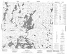
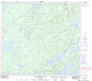
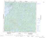
Maps showing Herbert Johnson Lake, 95-16W, Manitoba
Herbert Johnson Lake is a Lake located in 95-16W, Manitoba.
- Latitude: 57° 12' 48'' North (decimal: 57.2133000)
- Longitude: 100° 0' 31'' West (decimal: -100.0085999)
- Topography Feature Category: Lake
- Geographical Feature: Lake
- Canadian Province/Territory: Manitoba
- Location: 95-16W
- Atlas of Canada Locator Map: Herbert Johnson Lake
- GPS Coordinate Locator Map: Herbert Johnson Lake Lat/Long
Herbert Johnson Lake NTS Map Sheets