Canada Topographic Maps

Hunter Creek Topo Maps

Topography maps and Latitude/Longitude Location

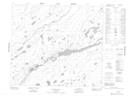
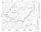
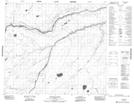
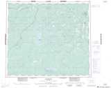
Maps showing Hunter Creek, 79-2E2, Manitoba

Hunter Creek is a River located in 79-2E2, Manitoba.

  • Latitude: 55° 52' 54'' North   (decimal: 55.8816999)
  • Longitude: 93° 45' 52'' West   (decimal: -93.7643999)
  • Topography Feature Category: River
  • Geographical Feature: Creek
  • Canadian Province/Territory: Manitoba
  • Location: 79-2E2
  • Atlas of Canada Locator Map: Hunter Creek
  • GPS Coordinate Locator Map: Hunter Creek Lat/Long

Hunter Creek NTS Map Sheets

053M09 Stupart Lake Topographic Map at 1:50,000 scale

053M16 Couture Lake Topographic Map at 1:50,000 scale

053N13 Kekayaw River Topographic Map at 1:50,000 scale

053M Knee Lake Topographic Map at 1:250,000 scale

053N Gods River Topographic Map at 1:250,000 scale

 
Buy Topographic Maps DVD
Newsletter Sign-up

Yes, I want to receive map store discounts.


Bookmark and Share