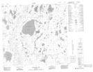
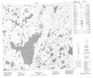
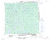
Maps showing Maconnell Lake, 101 - 5E, Manitoba
Maconnell Lake is a Lake located in 101 - 5E, Manitoba.
- Latitude: 57° 44' 40'' North (decimal: 57.7444000)
- Longitude: 96° 45' 37'' West (decimal: -96.7603000)
- Topography Feature Category: Lake
- Geographical Feature: Lake
- Canadian Province/Territory: Manitoba
- Location: 101 - 5E
- Atlas of Canada Locator Map: Maconnell Lake
- GPS Coordinate Locator Map: Maconnell Lake Lat/Long
Maconnell Lake NTS Map Sheets