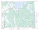
Maps showing Fisher River 44, Manitoba
Fisher River 44 is a Indian Reserve located in Manitoba.
- Latitude: 51° 25' 58'' North (decimal: 51.4328000)
- Longitude: 97° 21' 15'' West (decimal: -97.3542000)
- Topography Feature Category: Indian Reserve
- Geographical Feature: Indian Reserve - Réserve indienne
- Canadian Province/Territory: Manitoba
- Atlas of Canada Locator Map: Fisher River 44
- GPS Coordinate Locator Map: Fisher River 44 Lat/Long