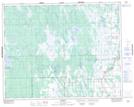
Maps showing Fisher River 44A, Manitoba
Fisher River 44A is a Indian Reserve located in Manitoba.
- Latitude: 51° 24' 8'' North (decimal: 51.4021999)
- Longitude: 97° 31' 53'' West (decimal: -97.5313999)
- Topography Feature Category: Indian Reserve
- Geographical Feature: Indian Reserve - Réserve indienne
- Canadian Province/Territory: Manitoba
- Atlas of Canada Locator Map: Fisher River 44A
- GPS Coordinate Locator Map: Fisher River 44A Lat/Long