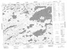
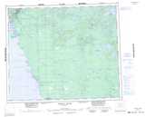
Maps showing Feather Rapids, Manitoba
Feather Rapids is a Indian Reserve located in Manitoba.
- Latitude: 53° 50' 30'' North (decimal: 53.8417000)
- Longitude: 96° 5' 10'' West (decimal: -96.0861000)
- Topography Feature Category: Indian Reserve
- Geographical Feature: Indian Reserve - Réserve indienne
- Canadian Province/Territory: Manitoba
- Atlas of Canada Locator Map: Feather Rapids
- GPS Coordinate Locator Map: Feather Rapids Lat/Long
Feather Rapids NTS Map Sheets