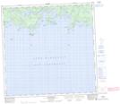
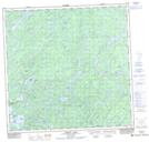
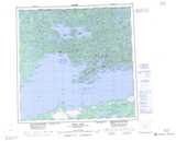
Maps showing Hayter Bay, Saskatchewan
Hayter Bay is a Bay located in Saskatchewan and has an elevation of 243 meters.
- Latitude: 59° 29' North (decimal: 59.4836111)
- Longitude: 108° 8' West (decimal: -108.1342584)
- Topography Feature Category: Bay
- Geographical Feature: Bay
- Canadian Province/Territory: Saskatchewan
- Elevation: 243 meters
- Atlas of Canada Locator Map: Hayter Bay
- GPS Coordinate Locator Map: Hayter Bay Lat/Long
Hayter Bay NTS Map Sheets