Canada Topographic Maps

Farrier Creek Topo Maps

Topography maps and Latitude/Longitude Location

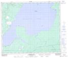
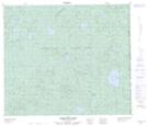
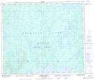
Maps showing Farrier Creek, 69-26-W3, Saskatchewan

Farrier Creek is a River located in 69-26-W3, Saskatchewan and has an elevation of 626 meters.

  • Latitude: 55° 0' North   (decimal: 55.0000842)
  • Longitude: 109° 49' West   (decimal: -109.8175057)
  • Topography Feature Category: River
  • Geographical Feature: Creek
  • Canadian Province/Territory: Saskatchewan
  • Elevation: 626 meters
  • Location: 69-26-W3
  • Atlas of Canada Locator Map: Farrier Creek
  • GPS Coordinate Locator Map: Farrier Creek Lat/Long

Farrier Creek NTS Map Sheets

073K13 Primrose Lake Topographic Map at 1:50,000 scale

073M01 Scheltens Lake Topographic Map at 1:50,000 scale

073N04 Calder River Topographic Map at 1:50,000 scale

073K Waterhen River Topographic Map at 1:250,000 scale

073M Winefred Lake Topographic Map at 1:250,000 scale

073N Buffalo Narrows Topographic Map at 1:250,000 scale

 
Buy Topographic Maps DVD
Newsletter Sign-up

Yes, I want to receive map store discounts.


Bookmark and Share