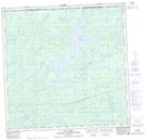
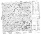
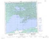
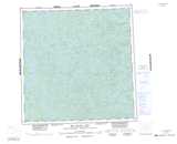
Maps showing Allansmith River, Saskatchewan
Allansmith River is a River located in Saskatchewan and has an elevation of 426 meters.
- Latitude: 59° 53' North (decimal: 59.8835001)
- Longitude: 108° 29' West (decimal: -108.4841735)
- Topography Feature Category: River
- Geographical Feature: River
- Canadian Province/Territory: Saskatchewan
- Elevation: 426 meters
- Atlas of Canada Locator Map: Allansmith River
- GPS Coordinate Locator Map: Allansmith River Lat/Long
Allansmith River NTS Map Sheets