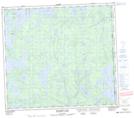
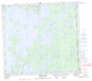
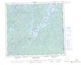
Maps showing Garth Lake, Saskatchewan
Garth Lake is a Lake located in Saskatchewan and has an elevation of 357 meters.
- Latitude: 56° 45' North (decimal: 56.7501145)
- Longitude: 102° 9' West (decimal: -102.1503503)
- Topography Feature Category: Lake
- Geographical Feature: Lake
- Canadian Province/Territory: Saskatchewan
- Elevation: 357 meters
- Atlas of Canada Locator Map: Garth Lake
- GPS Coordinate Locator Map: Garth Lake Lat/Long
Garth Lake NTS Map Sheets