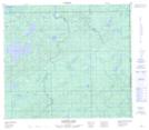
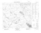
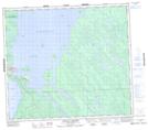
Maps showing Graham Creek, 80-1-W4, Saskatchewan
Graham Creek is a River located in 80-1-W4, Saskatchewan.
- Latitude: 55° 50' 40'' North (decimal: 55.8445494)
- Longitude: 109° 55' 53'' West (decimal: -109.9313947)
- Topography Feature Category: River
- Geographical Feature: Creek
- Canadian Province/Territory: Saskatchewan
- Location: 80-1-W4
- Atlas of Canada Locator Map: Graham Creek
- GPS Coordinate Locator Map: Graham Creek Lat/Long
Graham Creek NTS Map Sheets
073M16 Cowper Lake Topographic Map at 1:50,000 scale
073N13 Graham Lake Topographic Map at 1:50,000 scale
073N16 Buffalo Narrows Topographic Map at 1:50,000 scale
073M Winefred Lake Topographic Map at 1:250,000 scale
073N Buffalo Narrows Topographic Map at 1:250,000 scale
073N13 Graham Lake Topographic Map at 1:50,000 scale
073N16 Buffalo Narrows Topographic Map at 1:50,000 scale
073M Winefred Lake Topographic Map at 1:250,000 scale
073N Buffalo Narrows Topographic Map at 1:250,000 scale