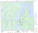
Maps showing Birch Point, Saskatchewan
Birch Point is a Cape located in Saskatchewan and has an elevation of 368 meters.
- Latitude: 56° 30' North (decimal: 56.5000915)
- Longitude: 103° 5' West (decimal: -103.0837266)
- Topography Feature Category: Cape
- Geographical Feature: Point
- Canadian Province/Territory: Saskatchewan
- Elevation: 368 meters
- Atlas of Canada Locator Map: Birch Point
- GPS Coordinate Locator Map: Birch Point Lat/Long
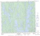
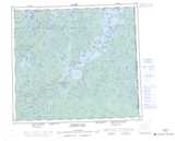
Birch Point NTS Map Sheets