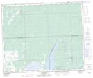
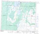
Maps showing Proudfoot Creek, 54-13-W3, Saskatchewan
Proudfoot Creek is a River located in 54-13-W3, Saskatchewan and has an elevation of 670 meters.
- Latitude: 53° 42' North (decimal: 53.7000761)
- Longitude: 107° 48' West (decimal: -107.8006385)
- Topography Feature Category: River
- Geographical Feature: Creek
- Canadian Province/Territory: Saskatchewan
- Elevation: 670 meters
- Location: 54-13-W3
- Atlas of Canada Locator Map: Proudfoot Creek
- GPS Coordinate Locator Map: Proudfoot Creek Lat/Long
Proudfoot Creek NTS Map Sheets