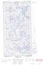
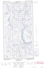
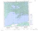
Maps showing Hazelton Lake, Saskatchewan
Hazelton Lake is a Lake located in Saskatchewan and has an elevation of 358 meters.
- Latitude: 59° 48' North (decimal: 59.8001808)
- Longitude: 109° 55' West (decimal: -109.9176277)
- Topography Feature Category: Lake
- Geographical Feature: Lake
- Canadian Province/Territory: Saskatchewan
- Elevation: 358 meters
- Atlas of Canada Locator Map: Hazelton Lake
- GPS Coordinate Locator Map: Hazelton Lake Lat/Long
Hazelton Lake NTS Map Sheets