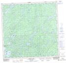
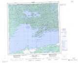
Maps showing Lenz Island, Saskatchewan
Lenz Island is a Island located in Saskatchewan and has an elevation of 265 meters.
- Latitude: 59° 31' North (decimal: 59.5169102)
- Longitude: 108° 27' West (decimal: -108.4508181)
- Topography Feature Category: Island
- Geographical Feature: Island
- Canadian Province/Territory: Saskatchewan
- Elevation: 265 meters
- Atlas of Canada Locator Map: Lenz Island
- GPS Coordinate Locator Map: Lenz Island Lat/Long
Lenz Island NTS Map Sheets