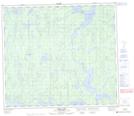
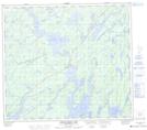
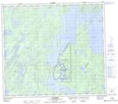
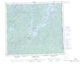
Maps showing Little Deer River, Saskatchewan
Little Deer River is a River located in Saskatchewan and has an elevation of 426 meters.
- Latitude: 56° 20' North (decimal: 56.3334209)
- Longitude: 103° 19' West (decimal: -103.3170661)
- Topography Feature Category: River
- Geographical Feature: River
- Canadian Province/Territory: Saskatchewan
- Elevation: 426 meters
- Atlas of Canada Locator Map: Little Deer River
- GPS Coordinate Locator Map: Little Deer River Lat/Long
Little Deer River NTS Map Sheets