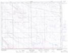
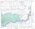
Maps showing Lost River, 31-49-16-2, Saskatchewan
Lost River is a Unincorporated area located in 31-49-16-2, Saskatchewan and has an elevation of 398 meters.
- Latitude: 53° 16' North (decimal: 53.2667013)
- Longitude: 104° 20' West (decimal: -104.3338041)
- Topography Feature Category: Unincorporated area
- Geographical Feature: Locality
- Canadian Province/Territory: Saskatchewan
- Elevation: 398 meters
- Location: 31-49-16-2
- Atlas of Canada Locator Map: Lost River
- GPS Coordinate Locator Map: Lost River Lat/Long
Lost River NTS Map Sheets