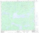
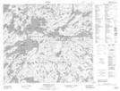
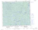
Maps showing Loveridge Island, Saskatchewan
Loveridge Island is a Island located in Saskatchewan and has an elevation of 333 meters.
- Latitude: 55° 24' North (decimal: 55.4000731)
- Longitude: 104° 0' West (decimal: -104.0004168)
- Topography Feature Category: Island
- Geographical Feature: Island
- Canadian Province/Territory: Saskatchewan
- Elevation: 333 meters
- Atlas of Canada Locator Map: Loveridge Island
- GPS Coordinate Locator Map: Loveridge Island Lat/Long
Loveridge Island NTS Map Sheets