Canada Topographic Maps

Point Island Topo Maps

Topography maps and Latitude/Longitude Location

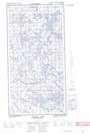
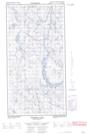
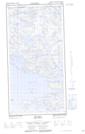
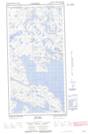
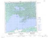
Maps showing Point Island, Saskatchewan

Point Island is a Island located in Saskatchewan.

  • Latitude: 59° 56' North   (decimal: 59.9334701)
  • Longitude: 109° 30' West   (decimal: -109.5008594)
  • Topography Feature Category: Island
  • Geographical Feature: Island
  • Canadian Province/Territory: Saskatchewan
  • Atlas of Canada Locator Map: Point Island
  • GPS Coordinate Locator Map: Point Island Lat/Long

Point Island NTS Map Sheets

074N13E Thainka Lake Topographic Map at 1:50,000 scale

074N13W Thainka Lake Topographic Map at 1:50,000 scale

074N14E Zin Bay Topographic Map at 1:50,000 scale

074N14W Zin Bay Topographic Map at 1:50,000 scale

074N Tazin Lake Topographic Map at 1:250,000 scale

 
Buy Topographic Maps DVD
Newsletter Sign-up

Yes, I want to receive map store discounts.


Bookmark and Share