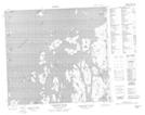
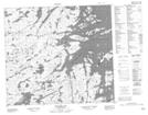
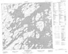
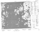
Maps showing Reindeer Lake, Saskatchewan
Reindeer Lake is a Lake located in Saskatchewan and has an elevation of 339 meters.
- Latitude: 57° 15' North (decimal: 57.2501223)
- Longitude: 102° 15' West (decimal: -102.2503626)
- Topography Feature Category: Lake
- Geographical Feature: Lake
- Canadian Province/Territory: Saskatchewan
- Elevation: 339 meters
- Atlas of Canada Locator Map: Reindeer Lake
- GPS Coordinate Locator Map: Reindeer Lake Lat/Long
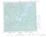
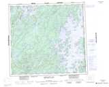
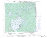
Reindeer Lake NTS Map Sheets
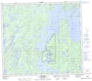
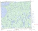
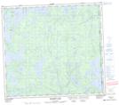
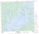
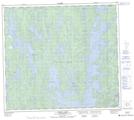
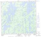
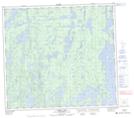
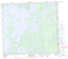
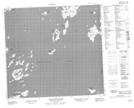
064D06 Southend Topographic Map at 1:50,000 scale
064D07 Finlayson Lake Topographic Map at 1:50,000 scale
064D09 Bleasdell Lake Topographic Map at 1:50,000 scale
064D10 Milton Island Topographic Map at 1:50,000 scale
064D11 Ghana Lake Topographic Map at 1:50,000 scale
064D14 Oliver Lake Topographic Map at 1:50,000 scale
064D15 Perry Lake Topographic Map at 1:50,000 scale
064D16 Amiskit Island Topographic Map at 1:50,000 scale
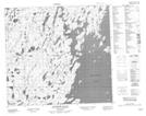
064E01 Cheesman Island Topographic Map at 1:50,000 scale
064E02 Wepusko Bay Topographic Map at 1:50,000 scale
064E07 Bedford Island Topographic Map at 1:50,000 scale
064E08 Beaver Island Topographic Map at 1:50,000 scale
064E09 Ballentin Island Topographic Map at 1:50,000 scale
064E10 Patterson Island Topographic Map at 1:50,000 scale
064E16 Feaviour Peninsula Topographic Map at 1:50,000 scale
064L01 Zangeza Bay Topographic Map at 1:50,000 scale
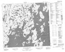
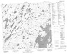
064D Numabin Bay Topographic Map at 1:250,000 scale
064E Compulsion Bay Topographic Map at 1:250,000 scale
064L Wollaston Lake Topographic Map at 1:250,000 scale