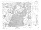
Maps showing Soeder Island, Saskatchewan
Soeder Island is a Island located in Saskatchewan.
- Latitude: 54° 35' North (decimal: 54.5833940)
- Longitude: 102° 3' West (decimal: -102.0503889)
- Topography Feature Category: Island
- Geographical Feature: Island
- Canadian Province/Territory: Saskatchewan
- Atlas of Canada Locator Map: Soeder Island
- GPS Coordinate Locator Map: Soeder Island Lat/Long
Soeder Island NTS Map Sheets