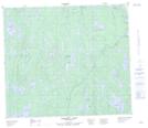
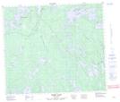
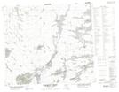
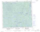
Maps showing Sokatisewin Lake, Saskatchewan
Sokatisewin Lake is a Lake located in Saskatchewan and has an elevation of 307 meters.
- Latitude: 55° 30' North (decimal: 55.5000823)
- Longitude: 102° 25' West (decimal: -102.4170554)
- Topography Feature Category: Lake
- Geographical Feature: Lake
- Canadian Province/Territory: Saskatchewan
- Elevation: 307 meters
- Atlas of Canada Locator Map: Sokatisewin Lake
- GPS Coordinate Locator Map: Sokatisewin Lake Lat/Long
Sokatisewin Lake NTS Map Sheets