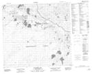
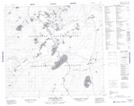
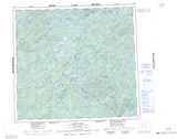
Maps showing MacKay Creek, Saskatchewan
MacKay Creek is a River located in Saskatchewan and has an elevation of 497 meters.
- Latitude: 57° 4' North (decimal: 57.0667782)
- Longitude: 109° 11' West (decimal: -109.1841133)
- Topography Feature Category: River
- Geographical Feature: Creek
- Canadian Province/Territory: Saskatchewan
- Elevation: 497 meters
- Atlas of Canada Locator Map: MacKay Creek
- GPS Coordinate Locator Map: MacKay Creek Lat/Long
MacKay Creek NTS Map Sheets