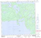
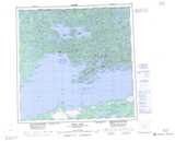
Maps showing Mayo Bay, Saskatchewan
Mayo Bay is a Bay located in Saskatchewan and has an elevation of 375 meters.
- Latitude: 59° 43' North (decimal: 59.7167705)
- Longitude: 109° 23' West (decimal: -109.3840165)
- Topography Feature Category: Bay
- Geographical Feature: Bay
- Canadian Province/Territory: Saskatchewan
- Elevation: 375 meters
- Atlas of Canada Locator Map: Mayo Bay
- GPS Coordinate Locator Map: Mayo Bay Lat/Long
Mayo Bay NTS Map Sheets