Maps showing Ness Creek, Saskatchewan
Ness Creek is a River located in Saskatchewan and has an elevation of 246 meters.
- Latitude: 59° 22' North (decimal: 59.3667375)
- Longitude: 109° 53' West (decimal: -109.8842616)
- Topography Feature Category: River
- Geographical Feature: Creek
- Canadian Province/Territory: Saskatchewan
- Elevation: 246 meters
- Atlas of Canada Locator Map: Ness Creek
- GPS Coordinate Locator Map: Ness Creek Lat/Long
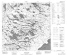
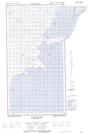
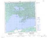
Ness Creek NTS Map Sheets