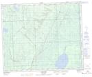
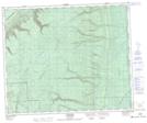
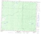
Maps showing North Chemong Creek, 8-48-31-W, Saskatchewan
North Chemong Creek is a River located in 8-48-31-W, Saskatchewan and has an elevation of 638 meters.
- Latitude: 53° 7' North (decimal: 53.1166940)
- Longitude: 101° 58' West (decimal: -101.9671340)
- Topography Feature Category: River
- Geographical Feature: Creek
- Canadian Province/Territory: Saskatchewan
- Elevation: 638 meters
- Location: 8-48-31-W
- Atlas of Canada Locator Map: North Chemong Creek
- GPS Coordinate Locator Map: North Chemong Creek Lat/Long
North Chemong Creek NTS Map Sheets