Canada Topographic Maps

Teepee Creek Topo Maps

Topography maps and Latitude/Longitude Location

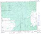
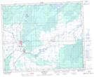
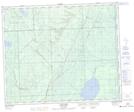
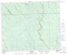
Maps showing Teepee Creek, 46-3-W2, Saskatchewan

Teepee Creek is a River located in 46-3-W2, Saskatchewan and has an elevation of 616 meters.

  • Latitude: 53° 0' North   (decimal: 53.0000223)
  • Longitude: 102° 23' West   (decimal: -102.3838062)
  • Topography Feature Category: River
  • Geographical Feature: Creek
  • Canadian Province/Territory: Saskatchewan
  • Elevation: 616 meters
  • Location: 46-3-W2
  • Atlas of Canada Locator Map: Teepee Creek
  • GPS Coordinate Locator Map: Teepee Creek Lat/Long

Teepee Creek NTS Map Sheets

063D15 Prairie River Topographic Map at 1:50,000 scale

063D16 Hudson Bay Topographic Map at 1:50,000 scale

063E01 Leaf Lake Topographic Map at 1:50,000 scale

063E02 Fir River Topographic Map at 1:50,000 scale

063D Hudson Bay Topographic Map at 1:250,000 scale

063E Pasquia Hills Topographic Map at 1:250,000 scale

 
Buy Topographic Maps DVD
Newsletter Sign-up

Yes, I want to receive map store discounts.


Bookmark and Share