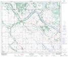
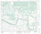
Maps showing Onion Lake, Saskatchewan
Onion Lake is a Unincorporated area located in Saskatchewan and has an elevation of 607 meters.
- Latitude: 53° 43' North (decimal: 53.7167554)
- Longitude: 110° 0' West (decimal: -110.0007876)
- Topography Feature Category: Unincorporated area
- Geographical Feature: Hamlet
- Canadian Province/Territory: Saskatchewan
- Elevation: 607 meters
- Atlas of Canada Locator Map: Onion Lake
- GPS Coordinate Locator Map: Onion Lake Lat/Long
Onion Lake NTS Map Sheets