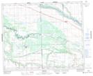
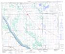
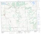
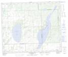
Maps showing Turtlelake River, 8-46-18-W3, Saskatchewan
Turtlelake River is a River located in 8-46-18-W3, Saskatchewan and has an elevation of 487 meters.
- Latitude: 52° 57' North (decimal: 52.9500745)
- Longitude: 108° 34' West (decimal: -108.5673592)
- Topography Feature Category: River
- Geographical Feature: River
- Canadian Province/Territory: Saskatchewan
- Elevation: 487 meters
- Location: 8-46-18-W3
- Atlas of Canada Locator Map: Turtlelake River
- GPS Coordinate Locator Map: Turtlelake River Lat/Long
Turtlelake River NTS Map Sheets