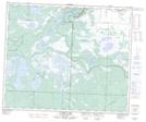
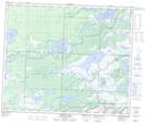
Maps showing Murphy Creek, 55-30-W, Saskatchewan
Murphy Creek is a River located in 55-30-W, Saskatchewan and has an elevation of 255 meters.
- Latitude: 53° 45' North (decimal: 53.7500453)
- Longitude: 101° 46' West (decimal: -101.7670941)
- Topography Feature Category: River
- Geographical Feature: Creek
- Canadian Province/Territory: Saskatchewan
- Elevation: 255 meters
- Location: 55-30-W
- Atlas of Canada Locator Map: Murphy Creek
- GPS Coordinate Locator Map: Murphy Creek Lat/Long
Murphy Creek NTS Map Sheets