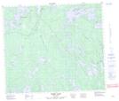
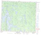
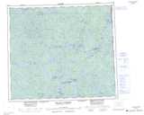
Maps showing Ward Bay, Saskatchewan
Ward Bay is a Bay located in Saskatchewan and has an elevation of 304 meters.
- Latitude: 55° 21' North (decimal: 55.3500813)
- Longitude: 101° 58' West (decimal: -101.9670544)
- Topography Feature Category: Bay
- Geographical Feature: Bay
- Canadian Province/Territory: Saskatchewan
- Elevation: 304 meters
- Atlas of Canada Locator Map: Ward Bay
- GPS Coordinate Locator Map: Ward Bay Lat/Long
Ward Bay NTS Map Sheets