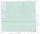
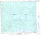
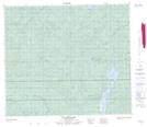
Maps showing Calder River, 69-25-W3, Saskatchewan
Calder River is a River located in 69-25-W3, Saskatchewan and has an elevation of 666 meters.
- Latitude: 55° 1' North (decimal: 55.0167524)
- Longitude: 109° 45' West (decimal: -109.7508374)
- Topography Feature Category: River
- Geographical Feature: River
- Canadian Province/Territory: Saskatchewan
- Elevation: 666 meters
- Location: 69-25-W3
- Atlas of Canada Locator Map: Calder River
- GPS Coordinate Locator Map: Calder River Lat/Long
Calder River NTS Map Sheets