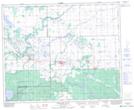
Maps showing Shand Creek, 11-43-8-W2, Saskatchewan
Shand Creek is a Unincorporated area located in 11-43-8-W2, Saskatchewan.
- Latitude: 52° 42' North (decimal: 52.7000050)
- Longitude: 103° 3' West (decimal: -103.0504741)
- Topography Feature Category: Unincorporated area
- Geographical Feature: Locality
- Canadian Province/Territory: Saskatchewan
- Location: 11-43-8-W2
- GPS Coordinate Locator Map: Shand Creek Lat/Long
Shand Creek NTS Map Sheets