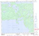
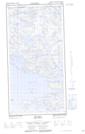
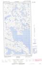
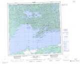
Maps showing David Island, Saskatchewan
David Island is a Island located in Saskatchewan and has an elevation of 345 meters.
- Latitude: 59° 46' North (decimal: 59.7667490)
- Longitude: 109° 11' West (decimal: -109.1840002)
- Topography Feature Category: Island
- Geographical Feature: Island
- Canadian Province/Territory: Saskatchewan
- Elevation: 345 meters
- Atlas of Canada Locator Map: David Island
- GPS Coordinate Locator Map: David Island Lat/Long
David Island NTS Map Sheets