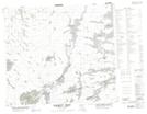
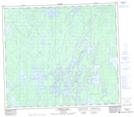
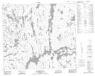
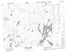
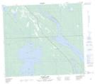
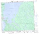
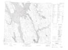
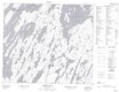
Maps showing Churchill River, Saskatchewan
Churchill River is a River located in Saskatchewan and has an elevation of 308 meters.
- Latitude: 55° 52' North (decimal: 55.8667590)
- Longitude: 102° 2' West (decimal: -102.0337038)
- Topography Feature Category: River
- Geographical Feature: River
- Canadian Province/Territory: Saskatchewan
- Elevation: 308 meters
- Atlas of Canada Locator Map: Churchill River
- GPS Coordinate Locator Map: Churchill River Lat/Long
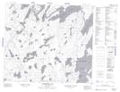
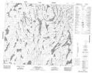
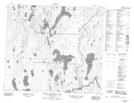
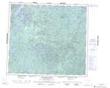
Churchill River NTS Map Sheets
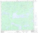
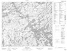
063M05 Trade Lake Topographic Map at 1:50,000 scale
063M06 Manawan Lake Topographic Map at 1:50,000 scale
063M07 Marchel Lake Topographic Map at 1:50,000 scale
063M08 Nemei Lake Topographic Map at 1:50,000 scale
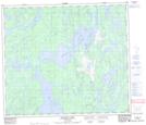
063M09 Sandy Bay Topographic Map at 1:50,000 scale
063M10 Wintego Lake Topographic Map at 1:50,000 scale
063M11 Iskwatam Lake Topographic Map at 1:50,000 scale
063M16 Pagato River Topographic Map at 1:50,000 scale
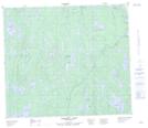
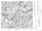
073N09 Kazan Lake Topographic Map at 1:50,000 scale
073N16 Buffalo Narrows Topographic Map at 1:50,000 scale
073O05 Lac Ile-A-La-Crosse Topographic Map at 1:50,000 scale
073O09 Sandfly Lake Topographic Map at 1:50,000 scale
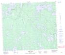
073O10 Pinehouse Lake Topographic Map at 1:50,000 scale
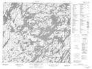
073P07 Stanley Mission Topographic Map at 1:50,000 scale
073P08 Nistowiak Lake Topographic Map at 1:50,000 scale
073P09 Guncoat Bay Topographic Map at 1:50,000 scale
073P10 Otter Lake Topographic Map at 1:50,000 scale
073P11 Kavanagh Lake Topographic Map at 1:50,000 scale
073P12 Black Bear Island Lake Topographic Map at 1:50,000 scale
073P13 Eulas Lake Topographic Map at 1:50,000 scale
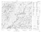
074B03 Studer Lake Topographic Map at 1:50,000 scale
074B04 Little Flatstone Lake Topographic Map at 1:50,000 scale
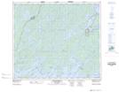
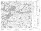
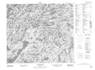
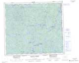
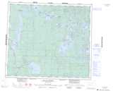
063M Pelican Narrows Topographic Map at 1:250,000 scale
073N Buffalo Narrows Topographic Map at 1:250,000 scale
073O Ile-A-La-Crosse Topographic Map at 1:250,000 scale
073P Lac La Ronge Topographic Map at 1:250,000 scale
074B Mudjatik River Topographic Map at 1:250,000 scale