Canada Topographic Maps

Douglas River Topo Maps

Topography maps and Latitude/Longitude Location

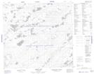
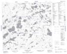
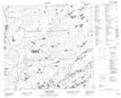
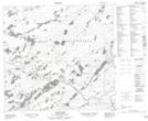
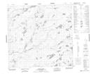
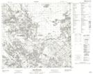
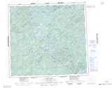
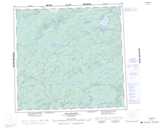
Maps showing Douglas River, Saskatchewan

Douglas River is a River located in Saskatchewan and has an elevation of 299 meters.

  • Latitude: 58° 22' North   (decimal: 58.3668033)
  • Longitude: 110° 0' West   (decimal: -110.0008911)
  • Topography Feature Category: River
  • Geographical Feature: River
  • Canadian Province/Territory: Saskatchewan
  • Elevation: 299 meters
  • Atlas of Canada Locator Map: Douglas River
  • GPS Coordinate Locator Map: Douglas River Lat/Long

Douglas River NTS Map Sheets

074F13 Smart Lake Topographic Map at 1:50,000 scale

074F14 Murison Lake Topographic Map at 1:50,000 scale

074K03 James Creek Topographic Map at 1:50,000 scale

074K05 Cluff Lake Topographic Map at 1:50,000 scale

074K06 Jolley Lake Topographic Map at 1:50,000 scale

074L08 Brander Lake Topographic Map at 1:50,000 scale

074F Lloyd Lake Topographic Map at 1:250,000 scale

074K William River Topographic Map at 1:250,000 scale

074L Fort Chipewyan Topographic Map at 1:250,000 scale

 
Buy Topographic Maps DVD
Newsletter Sign-up

Yes, I want to receive map store discounts.


Bookmark and Share