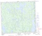
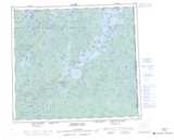
Maps showing Wright Island, Saskatchewan
Wright Island is a Island located in Saskatchewan and has an elevation of 365 meters.
- Latitude: 56° 19' 30'' North (decimal: 56.3251078)
- Longitude: 102° 1' 1'' West (decimal: -102.0170130)
- Topography Feature Category: Island
- Geographical Feature: Island
- Canadian Province/Territory: Saskatchewan
- Elevation: 365 meters
- Atlas of Canada Locator Map: Wright Island
- GPS Coordinate Locator Map: Wright Island Lat/Long
Wright Island NTS Map Sheets