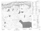
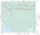
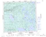
Maps showing Edwin Creek, Saskatchewan
Edwin Creek is a River located in Saskatchewan and has an elevation of 494 meters.
- Latitude: 56° 34' North (decimal: 56.5667841)
- Longitude: 110° 0' West (decimal: -110.0008193)
- Topography Feature Category: River
- Geographical Feature: Creek
- Canadian Province/Territory: Saskatchewan
- Elevation: 494 meters
- Atlas of Canada Locator Map: Edwin Creek
- GPS Coordinate Locator Map: Edwin Creek Lat/Long
Edwin Creek NTS Map Sheets