074D Fort Mcmurray Topographic Maps
Maps for the Fort Mcmurray map sheet 074D at 1:250,000 scale are available in 5 versions:
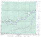
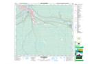
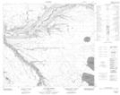
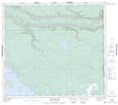
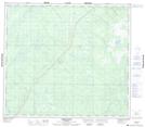
Topographic Map of Fort Mcmurray

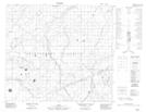
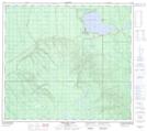
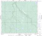
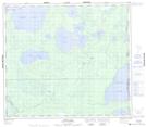
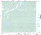
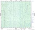
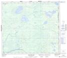
1:50,000 Scale Topos for Fort Mcmurray 074D:
 |
 |
 |
 |
 |
 |
 |
 |
 |
 |
 |
 |
 |
 |
 |
 |
074D Related Maps:
074D Fort Mcmurray
074D01 Watchusk Lake
074D02 Quigley
074D03 No Title
074D04 Horse River
074D05 No Title
074D06 Gregoire Lake
074D07 Cheecham
074D08 Gipsy Lake
074D09 Bunting Bay
074D10 Hollies Creek
074D11 Fort Mcmurray
074D12 Cascade Rapids
074D13 Ruth Lake
074D14 Wood Creek
074D15 No Title
074D16 High Hill River
074D01 Watchusk Lake
074D02 Quigley
074D03 No Title
074D04 Horse River
074D05 No Title
074D06 Gregoire Lake
074D07 Cheecham
074D08 Gipsy Lake
074D09 Bunting Bay
074D10 Hollies Creek
074D11 Fort Mcmurray
074D12 Cascade Rapids
074D13 Ruth Lake
074D14 Wood Creek
074D15 No Title
074D16 High Hill River
