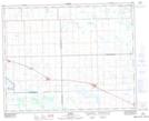
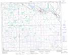
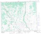
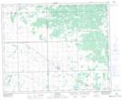
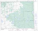
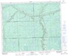
Maps showing Hazel Dell No. 335, Saskatchewan
Hazel Dell No. 335 is a Other municipal/district area - miscellaneous located in Saskatchewan.
- Latitude: 52° 5' 54'' North (decimal: 52.0984354)
- Longitude: 103° 6' 0'' West (decimal: -103.1000837)
- Topography Feature Category: Other municipal/district area - miscellaneous
- Geographical Feature: Rural Municipality
- Canadian Province/Territory: Saskatchewan
- Atlas of Canada Locator Map: Hazel Dell No. 335
- GPS Coordinate Locator Map: Hazel Dell No. 335 Lat/Long
Hazel Dell No. 335 NTS Map Sheets
062M14 Margo Topographic Map at 1:50,000 scale
062M15 Preeceville Topographic Map at 1:50,000 scale
063D02 Endeavour Topographic Map at 1:50,000 scale
063D03 Lintlaw Topographic Map at 1:50,000 scale
063D06 Klogei Lake Topographic Map at 1:50,000 scale
063D07 Reserve Topographic Map at 1:50,000 scale
062M Yorkton Topographic Map at 1:250,000 scale
063D Hudson Bay Topographic Map at 1:250,000 scale