Canada Topographic Maps

Livingston No. 331 Topo Maps

Topography maps and Latitude/Longitude Location

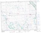
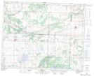
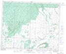
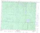
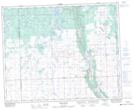
Maps showing Livingston No. 331, Saskatchewan

Livingston No. 331 is a Other municipal/district area - miscellaneous located in Saskatchewan.

  • Latitude: 52° 4' 2'' North   (decimal: 52.0673151)
  • Longitude: 101° 46' 42'' West   (decimal: -101.7784262)
  • Topography Feature Category: Other municipal/district area - miscellaneous
  • Geographical Feature: Rural Municipality
  • Canadian Province/Territory: Saskatchewan
  • Atlas of Canada Locator Map: Livingston No. 331
  • GPS Coordinate Locator Map: Livingston No. 331 Lat/Long

Livingston No. 331 NTS Map Sheets

062M16 Norquay Topographic Map at 1:50,000 scale

062N13 Arran Topographic Map at 1:50,000 scale

063C04 Thunder Hill Topographic Map at 1:50,000 scale

063C05 Townsend Lake Topographic Map at 1:50,000 scale

063D01 Swan Plain Topographic Map at 1:50,000 scale

063D08 Mcbride Lake Topographic Map at 1:50,000 scale

062M Yorkton Topographic Map at 1:250,000 scale

062N Duck Mountain Topographic Map at 1:250,000 scale

063C Swan Lake Topographic Map at 1:250,000 scale

063D Hudson Bay Topographic Map at 1:250,000 scale

 
Buy Topographic Maps DVD
Newsletter Sign-up

Yes, I want to receive map store discounts.


Bookmark and Share