Maps showing Chesterfield No. 261, Saskatchewan
Chesterfield No. 261 is a Other municipal/district area - miscellaneous located in Saskatchewan.
- Latitude: 51° 1' 2'' North (decimal: 51.0170849)
- Longitude: 109° 39' 45'' West (decimal: -109.6625567)
- Topography Feature Category: Other municipal/district area - miscellaneous
- Geographical Feature: Rural Municipality
- Canadian Province/Territory: Saskatchewan
- Atlas of Canada Locator Map: Chesterfield No. 261
- GPS Coordinate Locator Map: Chesterfield No. 261 Lat/Long
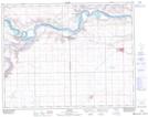
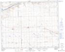
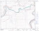
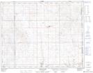
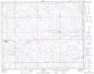
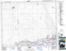
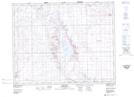
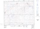
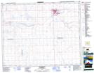
Chesterfield No. 261 NTS Map Sheets
072K13 Leader Topographic Map at 1:50,000 scale
072K14 Sceptre Topographic Map at 1:50,000 scale
072L16 Bindloss Topographic Map at 1:50,000 scale
072M01 Acadia Valley Topographic Map at 1:50,000 scale
072M08 Sibbald Topographic Map at 1:50,000 scale
072N03 Glidden Topographic Map at 1:50,000 scale
072N04 Cabri Lake Topographic Map at 1:50,000 scale
072N05 Alsask Topographic Map at 1:50,000 scale
072N06 Kindersley Topographic Map at 1:50,000 scale
072K Prelate Topographic Map at 1:250,000 scale
072L Medicine Hat Topographic Map at 1:250,000 scale
072M Oyen Topographic Map at 1:250,000 scale
072N Kindersley Topographic Map at 1:250,000 scale