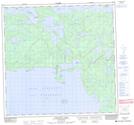
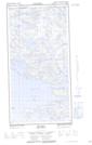
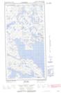
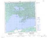
Maps showing Beatty Island, Saskatchewan
Beatty Island is a Island located in Saskatchewan and has an elevation of 357 meters.
- Latitude: 59° 45' North (decimal: 59.7500953)
- Longitude: 109° 2' West (decimal: -109.0339967)
- Topography Feature Category: Island
- Geographical Feature: Island
- Canadian Province/Territory: Saskatchewan
- Elevation: 357 meters
- Atlas of Canada Locator Map: Beatty Island
- GPS Coordinate Locator Map: Beatty Island Lat/Long
Beatty Island NTS Map Sheets