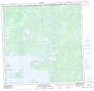
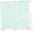
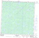
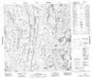
Maps showing Tazin River, Saskatchewan
Tazin River is a River located in Saskatchewan and has an elevation of 349 meters.
- Latitude: 60° 0' North (decimal: 60.0001437)
- Longitude: 109° 48' West (decimal: -109.8010835)
- Topography Feature Category: River
- Geographical Feature: River
- Canadian Province/Territory: Saskatchewan
- Elevation: 349 meters
- Atlas of Canada Locator Map: Tazin River
- GPS Coordinate Locator Map: Tazin River Lat/Long
Tazin River NTS Map Sheets
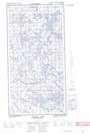
074N13E Thainka Lake Topographic Map at 1:50,000 scale
074N13W Thainka Lake Topographic Map at 1:50,000 scale
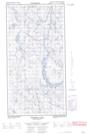
074N14E Zin Bay Topographic Map at 1:50,000 scale
074N14W Zin Bay Topographic Map at 1:50,000 scale
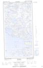
074N15 Burchnall Lake Topographic Map at 1:50,000 scale
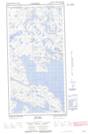
074N16 Ena Lake Topographic Map at 1:50,000 scale
074O13 Dardier Lake Topographic Map at 1:50,000 scale
075C04 Tatse Lake Topographic Map at 1:50,000 scale
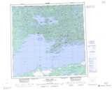
074N Tazin Lake Topographic Map at 1:250,000 scale
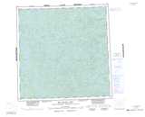
074O Fond-Du-Lac Topographic Map at 1:250,000 scale
075C Hill Island Lake Topographic Map at 1:250,000 scale