Maps showing Prairie National Wildlife Area, Saskatchewan
Prairie National Wildlife Area is a Conservation area located in Saskatchewan.
- Latitude: 50° 38' 30'' North (decimal: 50.6416991)
- Longitude: 106° 25' 2'' West (decimal: -106.4172788)
- Topography Feature Category: Conservation area
- Geographical Feature: National Wildlife Area
- Canadian Province/Territory: Saskatchewan
- Atlas of Canada Locator Map: Prairie National Wildlife Area
- GPS Coordinate Locator Map: Prairie National Wildlife Area Lat/Long
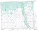
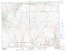
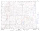
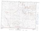
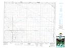
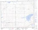
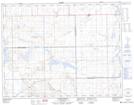
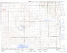
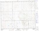
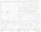
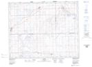
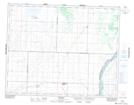
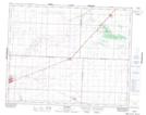
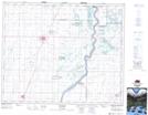
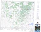
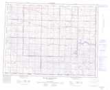
Prairie National Wildlife Area NTS Map Sheets
063D01 Swan Plain Topographic Map at 1:50,000 scale
072F11 Fairwell Creek Topographic Map at 1:50,000 scale
072F13 Kincorth Topographic Map at 1:50,000 scale
072G04 Orkney Topographic Map at 1:50,000 scale
072J09 Eskbank Topographic Map at 1:50,000 scale
072K03 Crane Lake Topographic Map at 1:50,000 scale
072K04 Golden Prairie Topographic Map at 1:50,000 scale
072K06 Fox Valley Topographic Map at 1:50,000 scale
072K11 Johnsborough Topographic Map at 1:50,000 scale
072K12 Burstall Topographic Map at 1:50,000 scale
072N05 Alsask Topographic Map at 1:50,000 scale
072O11 Conquest Topographic Map at 1:50,000 scale
072O12 Rosetown Topographic Map at 1:50,000 scale
073B09 Rosthern Topographic Map at 1:50,000 scale
073B14 Krydor Topographic Map at 1:50,000 scale
063D Hudson Bay Topographic Map at 1:250,000 scale
072F Cypress Lake Topographic Map at 1:250,000 scale
072G Wood Mountain Topographic Map at 1:250,000 scale
072J Swift Current Topographic Map at 1:250,000 scale
072K Prelate Topographic Map at 1:250,000 scale
072N Kindersley Topographic Map at 1:250,000 scale
072O Rosetown Topographic Map at 1:250,000 scale
073B Saskatoon Topographic Map at 1:250,000 scale