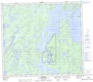
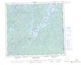
Maps showing Mistahi Wasahk 209, 85-7, 8-W2, Saskatchewan
Mistahi Wasahk 209 is a Indian Reserve located in 85-7, 8-W2, Saskatchewan.
- Latitude: 56° 22' 18'' North (decimal: 56.3716380)
- Longitude: 103° 0' 35'' West (decimal: -103.0096527)
- Topography Feature Category: Indian Reserve
- Geographical Feature: Indian Reserve - Réserve indienne
- Canadian Province/Territory: Saskatchewan
- Location: 85-7, 8-W2
- Atlas of Canada Locator Map: Mistahi Wasahk 209
- GPS Coordinate Locator Map: Mistahi Wasahk 209 Lat/Long
Mistahi Wasahk 209 NTS Map Sheets