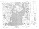
Maps showing Sparling Island, Saskatchewan
Sparling Island is a Island located in Saskatchewan.
- Latitude: 54° 37' 23'' North (decimal: 54.6230555)
- Longitude: 102° 10' 50'' West (decimal: -102.1805555)
- Topography Feature Category: Island
- Geographical Feature: Island
- Canadian Province/Territory: Saskatchewan
- Atlas of Canada Locator Map: Sparling Island
- GPS Coordinate Locator Map: Sparling Island Lat/Long
Sparling Island NTS Map Sheets