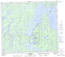
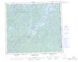
Maps showing Southend 200A, Saskatchewan
Southend 200A is a Indian Reserve located in Saskatchewan.
- Latitude: 56° 19' 41'' North (decimal: 56.3279310)
- Longitude: 103° 15' 4'' West (decimal: -103.2510656)
- Topography Feature Category: Indian Reserve
- Geographical Feature: Indian Reserve - Réserve indienne
- Canadian Province/Territory: Saskatchewan
- Atlas of Canada Locator Map: Southend 200A
- GPS Coordinate Locator Map: Southend 200A Lat/Long
Southend 200A NTS Map Sheets