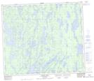
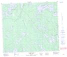
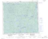
Maps showing Nemekus Sakahikan 221, Saskatchewan
Nemekus Sakahikan 221 is a Indian Reserve located in Saskatchewan.
- Latitude: 55° 17' 24'' North (decimal: 55.2901035)
- Longitude: 102° 20' 38'' West (decimal: -102.3439691)
- Topography Feature Category: Indian Reserve
- Geographical Feature: Indian Reserve - Réserve indienne
- Canadian Province/Territory: Saskatchewan
- Atlas of Canada Locator Map: Nemekus Sakahikan 221
- GPS Coordinate Locator Map: Nemekus Sakahikan 221 Lat/Long
Nemekus Sakahikan 221 NTS Map Sheets